IRGC issues new Hormuz control map amidst Iran's threat to to attack any force approaching Strait

Akbar Novruz
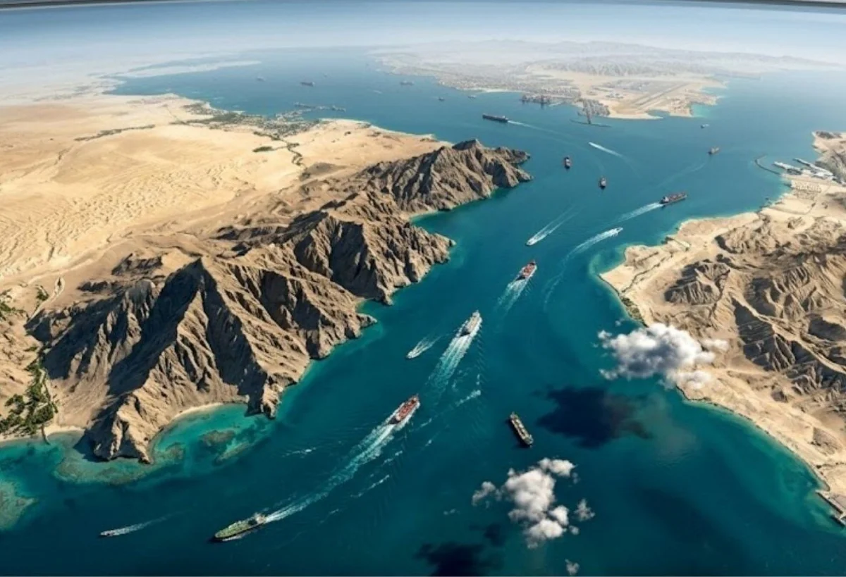
Read moreIran's Revolutionary Guards Corps (IRGC) Navy released a new map on Monday outlining areas of the Strait of Hormuz that it said were under Iranian military control, AzerNEWS reports.
According to the IRGC Navy, the designated zone stretches from two lines: one between the end of Qeshm Island in Iran and Umm al Quwain in the United Arab Emirates, and the other between Kuh-e Mobarak in Iran and south of Fujairah in the United Arab Emirates.
The IRGC has repeatedly threatened to take action against any maritime movement that violates its declared regulations.
Iran's Khatam al-Anbiya (PBUH) Central Headquarters Commander Ali Abdullahi warned on Monday that the country's military will "attack any foreign forces approaching the Strait of Hormuz."
His comments come after United States President Donald Trump announced "Project Freedom," aimed at escorting stranded vessels through the waterway. In a statement, Abdullahi underlined that Tehran repeatedly said that "the security of the Strait is in the hands of [the country's] armed forces," further adding that navigation through the waterway will be coordinated "exclusively" with Iran.
The commander insisted that the Iranian army will "respond firmly to any threat, regardless of its scale or location."
Here we are to serve you with news right now. It does not cost much, but worth your attention.
Choose to support open, independent, quality journalism and subscribe on a monthly basis.
By subscribing to our online newspaper, you can have full digital access to all news, analysis, and much more.
You can also follow AzerNEWS on Twitter @AzerNewsAz or Facebook @AzerNewsNewspaper
Thank you!