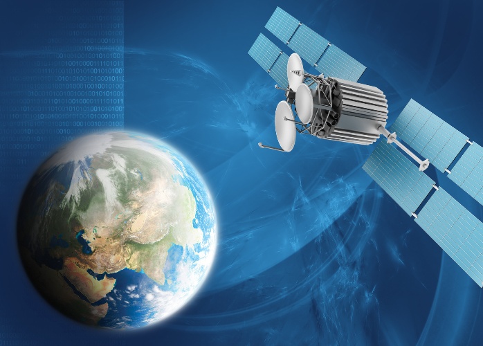
Azercosmos plans to manage 4 satellites

By Nigar Orujova
Azerbaijan's satellite operator Azerkosmos is planning to increase its force and buy a second low-orbit Earth sounding satellite, the company reported on June 6.
Azercosmos, the first satellite operator in the Caucasus, is now managing a fixed telecommunication satellite Azerspace-1 and a low-orbit satellite AzerSky.
The launch of the second stationary satellite is planned for 2017, after which a second low-orbit satellite is expected to be placed in orbit. In total, in the coming years, Azerbaijan will hold four satellites.
The second remote sensing satellite will have an ultra-high resolution and will be used for photographing the terrain in emergencies, in agriculture, to address environmental issues, mapping and others.
Earlier, International Telecommunication Union said formation of a constellation of satellites can be a costly affair, but to ensure the effectiveness and sustainability of satellite services, Azerbaijan should have at least four satellites that can be replaced with each other in the event of unforeseen circumstances and in emergencies.
There is a traditional problem with the satellites. For instance, there is a spacecraft allowing monitoring with a resolution of eight meters, one meter and very high resolution of 0.5 meters. The satellites with high-resolution can observe the narrow perimeter in details and are not able to fix what is happening around.
A reasonable approach in this matter is the parallel use of a satellite with mathematical processing, that can survey the whole country in a single round, and a high-resolution satellite, which will film the most alarming place. This will allow a detailed review and to find out what exactly happened on the site.
Azersky low orbit satellite was launched last June in the framework of strategic cooperation between Azerbaijan and France in the space industry, and was transferred to the control of Azerbaijan.
The satellite is able to conduct a daily shoot of portions of the surface of the Earth of six million square kilometers. The resolution of the images is 1.5 meters.
Azersky has a broad range of applications including defense and security, emergency response, exploration of natural resources, maritime surveillance, sea faring, environmental protection, urban planning, cartography, agriculture, and tourism.
--
Nigar Orujova is AzerNews’s staff journalist, follow her on Twitter: @o_nigar
Follow us on Twitter @AzerNewsAz
Here we are to serve you with news right now. It does not cost much, but worth your attention.
Choose to support open, independent, quality journalism and subscribe on a monthly basis.
By subscribing to our online newspaper, you can have full digital access to all news, analysis, and much more.
You can also follow AzerNEWS on Twitter @AzerNewsAz or Facebook @AzerNewsNewspaper
Thank you!
