Azerbaijan’s State Property Issues Committee to control land plots via satellite system
By Trend
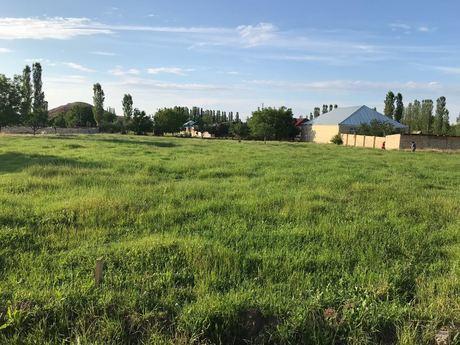
Azerbaijan’s State Property Issues Committee will use the resources of the Europa 2 low orbit satellite to obtain operational information on environmental changes of land plots, Karam Hasanov, chairman of the committee, told reporters in Baku Sept. 12.
He said that the project is being implemented jointly with a Slovenian company, which won a tender announced earlier by the agency.
“The satellite monitoring system will allow monitoring changes which occurred as a result of mudflows, floods, soil salinization, it will also make it possible to confirm erosion, etc.,” he said. “All this information will be sent to us weekly. In the future, we plan to build a similar system with Azercosmos OJSC.”
In February 2017, the Real Estate Cadastre and Address Registry Service under Azerbaijan’s State Property Issues Committee and Azercosmos OJSC signed a memorandum of understanding, which envisages using the resources of the Azersky low orbit satellite in the preparation of orthophotomaps with the purpose of updating databases and information base of the e-cadastre, including land and residential areas.