2D-3D seismic survey to begin at Ashrafi-Dan Ulduzu-Aypara soon
By Narmina Mammadova
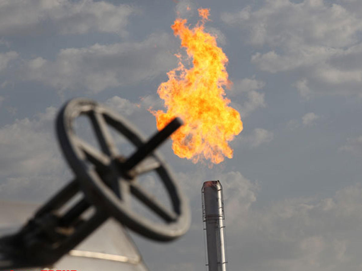
Norway’s Equinor will start 2D-3D seismic survey at Azerbaijan’s Ashrafi-Dan Ulduzu-Aypara structures in March 2019, the Environmental Impact Assessment (EIA) for 2D-3D seismic survey in the Ashrafi-Dan Ulduzu-Aypara (ADUA) exploration area says.
This document presents the results of the Environmental Impact Assessment (EIA) undertaken for the 2 and 3- dimensional (2D and 3D) marine seismic acquisition survey program, proposed by Statoil Azerbaijan in the the Ashrafi-Dan Ulduzu-Aypara (ADUA) exploration area in Azerbaijan.
The 2D-3D seismic survey is expected to start mid-march 2019 (subject to vessel availability) and will have an approximate duration of 42 to 45 days.
“The proposed 2D and 3D seismic exploration survey is tentatively scheduled to begin in mid-March 2019 (depending on vessel availability). Depending on the equipment configuration and the weather conditions, the expected duration of the survey is approximately 42-45 days of acquisition (8-9 days for 2D and 34-36 days for the 3D program), running an uninterrupted schedule of 24 hours a day and 7 days per week. A reasonable amount of weather standby and technical downtime has been included in the time estimate, but not the mobilization time which is expected to be 4-7 days. The order of the 2D acquisition and 3D acquisition will be decided once vessel availability is confirmed, taking into account technical, logistical and environmental considerations to ensure minimal impact on the environment,” the document reports.
Norway’s Equinor and Azerbaijan’s SOCAR have signed a Risk Service Agreement (RSA) related to the appraisal and development of the Karabakh oilfield and a Production Sharing Agreement (PSA) for the Ashrafi, Dan Ulduzu, Aypara area on May 30, 2018.
On July 5, Azerbaijani President Ilham Aliyev approved these agreements.
The first agreement is a risk-service agreement on the Karabakh field in the Azerbaijani sector of the Caspian Sea, while the second agreement - a production sharing and exploration agreement on the Dan Ulduzu, Ashrafi and Aypara promising structures.
The agreements envisage a 50/50 share distribution.
The first agreement was signed among SOCAR, Statoil Azerbaijan Karabakh BV (Statoil) and SOCAR Karabakh LLC (SOCAR Karabakh), and the second one - among SOCAR, Statoil Azerbaijan Ashrafi Dan Ulduzu Aypara BV ("Statoil") and SOCAR’s affiliated company.
The Karabakh oil and gas field, discovered in 2000, is located 130 kilometers to the east of Baku. The sea depth in the field varies in the range of 250-450 meters. The initial oil reserves of the field are estimated at 100 million tons.
The recoverable reserves of the Karabakh field are estimated at 16 million tons of oil and 28 billion cubic meters of gas. The sea depth in the area of the field is 180 meters. The initial oil reserves of the Karabakh oil and gas field, discovered in 2000, amount to 100 million tons.
SOCAR operates Karabakh field’s development.
An exploration well on the Karabakh field is planned to be drilled in 2018. The company expects to receive the first reserves from the field in 2021.
The contract for developing Ashrafi – Dan Ulduzu block of structures, signed in 1997 between SOCAR (20 percent), BP (30 percent), Unocal (25.5 percent), Itochu (20 percent) and Delta HESS (4.5 percent), lost validity on March 7, 2000. Hydrocarbon reserves in the amount of 20-40 million tons were discovered at the Ashrafi field.
The ADUA exploration area is located around 50 kilometres east of Baku, around 14 kilometers to the east of Azerbaijan mainland (Absheron peninsula), and approximately 7 kilometers to the east of Pirallahi Island and Chilov Island in water depths varying between 20 and 225 meters.
As per the PSA, Statoil Azerbaijan will be the operator of these activities and thus responsible for the planning and execution of the 2D-3D seismic survey, which will comprise a minimum of approximately 500 full fold km2 of 3D seismic data, and a minimum of approximately 800 full fold km2 of 2D seismic data.
---
Follow us on Twitter @AzerNewsAz